Morgan Griffin · 16 September 2026
How Digitized Cartography is Reshaping Historical Research in Delwyn's Public Institutions
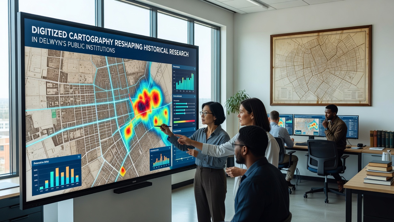
Delwyn's public institutions have integrated digitized cartography into their core operations over the past decade, and this shift has altered how researchers access and analyze historical land records, settlement patterns, and urban development data. Public libraries, city archives, and regional heritage centers now maintain extensive collections of georeferenced maps that overlay nineteenth-century surveys with modern satellite imagery, which allows cross-referencing of property boundaries and infrastructure changes without physical handling of fragile originals.
Expansion of Digital Map Collections
Staff at the Delwyn Central Archive began systematic scanning of paper maps in 2018, and by early 2025 the collection exceeded 12,000 georeferenced items covering the Delwyn Valley and surrounding townships. These files sit in a centralized database that supports keyword searches by date, surveyor name, and geographic coordinate, which reduces retrieval time from hours to seconds for visiting scholars. Similar efforts at the Delwyn Public Library's local history branch added another 4,500 maps focused on transportation routes and agricultural zones, and the combined holdings now serve as the primary reference point for anyone studying regional evolution.
Researchers frequently combine these layers with census data and building permits to trace demographic shifts across specific blocks, and the process relies on open-source GIS tools that the institutions provide on dedicated terminals. One study conducted by the Delwyn Historical Society tracked changes in commercial districts between 1890 and 1940, and it drew directly from the newly digitized street maps rather than scattered paper copies that previously limited sample size.
Access Improvements for Local and Visiting Researchers
Remote access portals went live in 2022, and since then usage statistics show a steady rise in queries from outside the immediate Delwyn area. Users can download subsets of map data under a creative commons license that the institutions adopted to encourage wider analysis, and several university projects have already incorporated Delwyn layers into larger studies of Midwest settlement. The system also logs every overlay query, which gives collection managers clear data on which time periods attract the most attention and where gaps remain in coverage.
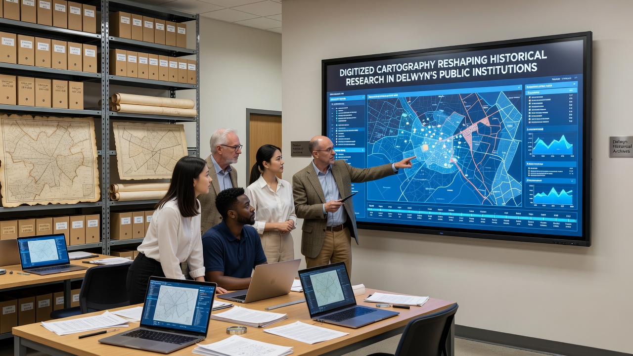
Training sessions run monthly at the Delwyn Public Library, and attendance records indicate consistent participation from local high school teachers as well as graduate students from nearby colleges. These workshops cover basic georeferencing techniques and how to align historical surveys with current property lines, skills that participants then apply to independent projects. The sessions also introduce attendees to metadata standards used by the U.S. National Archives, ensuring compatibility when Delwyn files are later shared with national repositories.
September 2026 Digitization Milestone
Planning documents released by the Delwyn City Council outline an additional scanning push scheduled for September 2026 that will target remaining manuscript maps from the 1870s through the 1920s. The project includes partnerships with the Australian National University’s digital heritage program, whose staff will provide technical guidance on handling oversized documents and color correction for aged inks. Once complete, the expanded dataset will support comparative studies between Delwyn and similarly sized communities in other regions, and preliminary agreements already exist for data exchange with institutions in Canada and the United Kingdom.
Funding for the 2026 phase comes from a combination of municipal allocations and grants administered through the Delwyn Valley Heritage Foundation, and the timeline calls for all new files to be online by December of that year. Observers note that this schedule aligns with broader state initiatives to standardize digital preservation practices across public collections.
Integration with Other Research Tools
Many Delwyn researchers now combine cartographic layers with three-dimensional models of historic buildings that the local historical society maintains, and this combination reveals how street widening projects in the early twentieth century affected specific structures. The institutions also link map data to oral history transcripts, allowing users to locate interview subjects on period maps and understand spatial relationships mentioned in recordings. Such linkages emerged after the archives adopted a unified content management system in 2023, and they continue to expand as more records receive digital tags.
Data from the Delwyn Public Institutions’ annual report shows that map-related reference questions increased by 47 percent between 2021 and 2024, while physical map retrievals declined by nearly the same margin. This pattern reflects a broader transition documented in reports from the National Library of Australia, where similar digitization efforts produced comparable usage shifts. Delwyn staff continue to monitor these trends to adjust staffing and server capacity accordingly.
Conclusion
Digitized cartography has become a standard component of historical inquiry within Delwyn’s public institutions, and the infrastructure supporting it continues to grow through scheduled projects and inter-institutional collaborations. Researchers gain faster access to layered spatial data, while collection managers obtain usage metrics that guide future acquisitions. The September 2026 expansion will further enlarge the available record, and the resulting datasets will remain available to both local users and external scholars under established licensing terms.